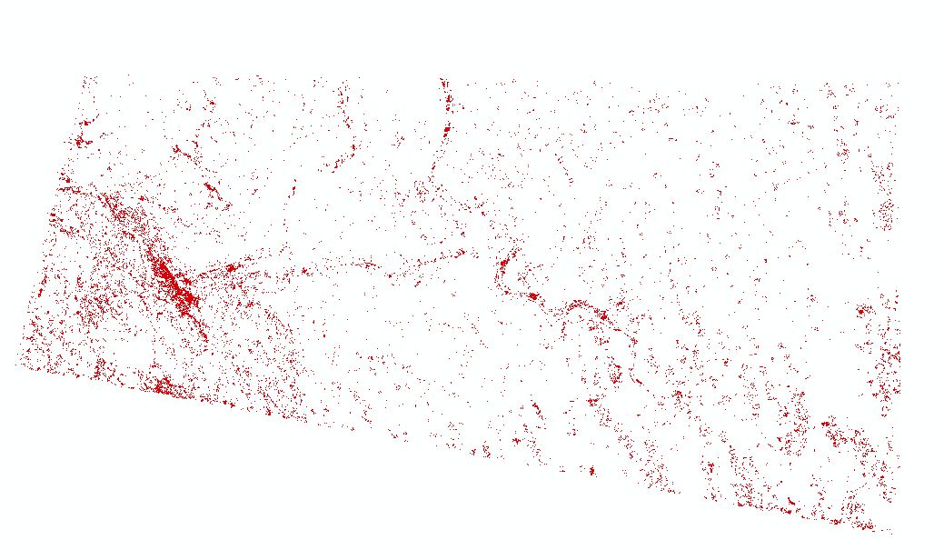
With the analyze week of the MTR project, we were each assigned a LandSat image, according to our group. Using ERDAS, we conducted an unsupervised image classification on our image after it had been ran through the Composite Bands tool. The image was classified based on whether the area was identified as either MTR or non-MTR. The image provided is the final product after reclassification, with only the MTR areas showing.
Comments
Post a Comment