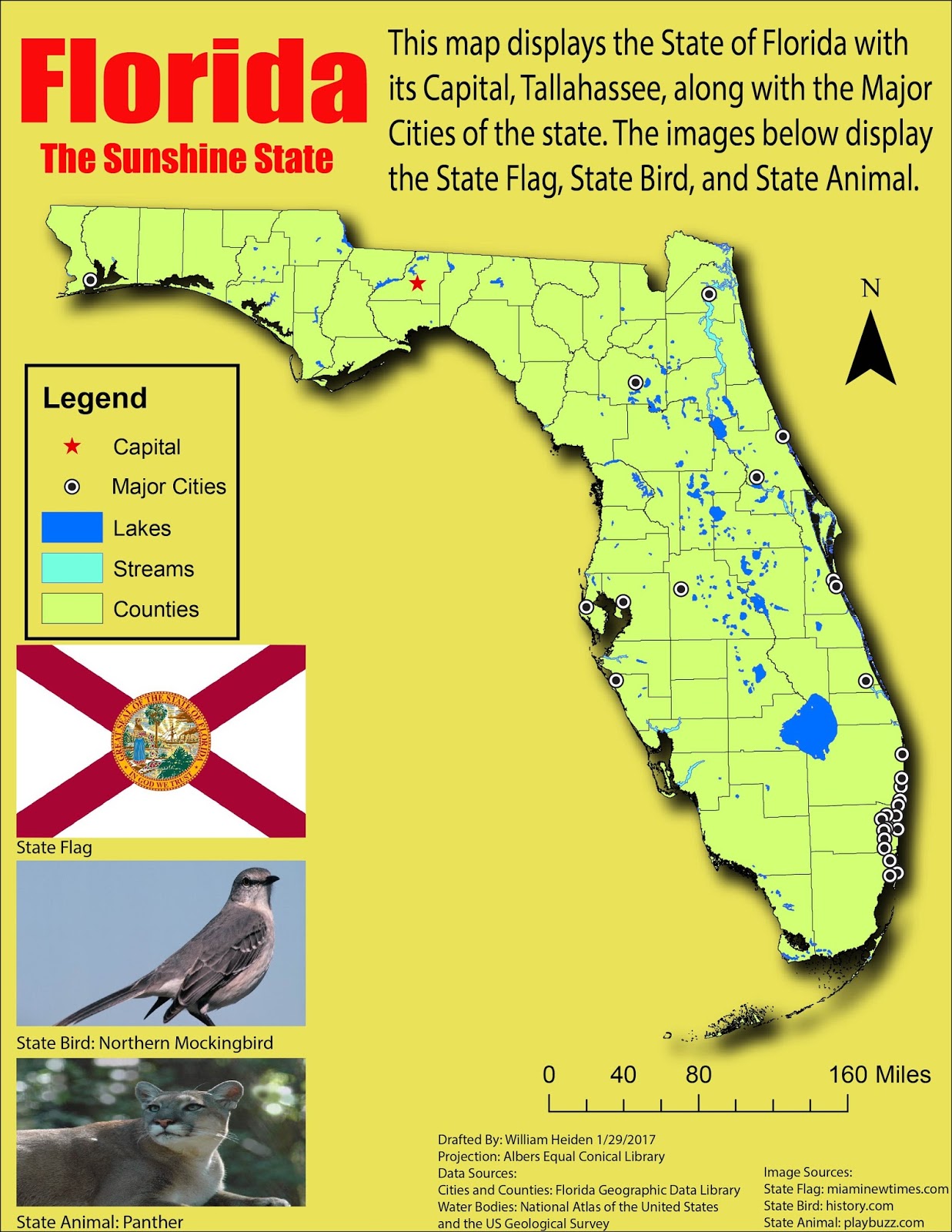
We were tasked in creating a map of Florida showing its counties, major cities, water bodies, and capital. But rather than adding these graphic design elements in via ArcMap, the maps were imported into Adobe Illustrator to make the final touch ups. The elements that were created in ArcMap include the state and accompanying features, north arrow, scale bar, and legend. Everything else was created using Adobe Illustrator. As seen images were placed in of the state flag, bird, and animal. A drop shadow was given to the state to give it more depth.
For the Major Cities, they were originally noted by a different symbol. But by using a script given to us, I was able replace all previous symbols with a new one. This was performed by placing all the symbols into their own grouped layer and then running the script. Voila, everything was changed at once rather than tediously doing so manually.
Overall, it wasn't painful, especially for someone like myself who isn't familiar with image editing software. Admittedly, I'm not the most creative type, so using this program more and more will hopefully improve upon that.
Comments
Post a Comment